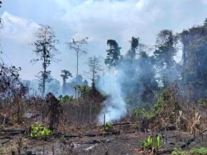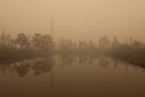
Jakarta – A total of 1,487 hotspots were detected across Kalimantan as Indonesia enters the dry season, the National Disaster Management Agency (BNPB) said on Thursday, August 20.
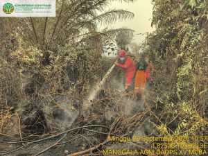
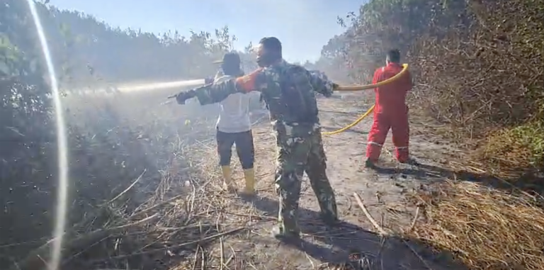
A forest and land fire in East Kalimantan burned 10.65 hectares on Wednesday in Sepan village, Penajam district, North Penajam Paser regency, with no casualties reported. The local disaster management agency (BPBD), assisted by joint personnel, extinguished the blaze on the same day.
The latest monitoring data from the NOAA-20 satellite as of Thursday recorded the highest concentration of hotspots in Central Kalimantan, with 767, followed by West Kalimantan with 560. South Kalimantan and East Kalimantan each recorded 74 hotspots, while North Kalimantan had three.
Indonesia on alert
Indonesia is stepping up preparations to contain forest and land fires as a very strong El Niño raises the risk of dry conditions, while recent incidents at sea have highlighted the need for closer attention to changing marine conditions.
Forestry Minister Raja Juli Antoni said on Tuesday, August 18, that El Niño was already active at a very strong intensity. He said the phenomenon had arrived earlier than initially expected, showing similarities to the 2015 El Niño, when Indonesia experienced widespread forest and land fires.
From January to July, about 202,000 hectares had been affected by forest and land fires, with 57% occurring inside forest areas and the remainder outside forests. The largest affected provinces included West Kalimantan, South Papua, East Nusa Tenggara, West Nusa Tenggara and Riau.
The Forestry Ministry said it had strengthened early detection, emergency posts, firefighting operations and coordination with local governments and other agencies. Operations were under way in six priority provinces, while the ministry was also working with BMKG and the National Disaster Management Agency on weather modification operations.
The elevated climate risks come as BMKG has also highlighted the importance of closely monitoring marine conditions following several recent vessel accidents.
In an analysis presented to lawmakers, BMKG said conditions around four accident sites varied significantly, even though weather was generally clear to cloudy and no rainfall was detected at the time of the incidents. For example, at the KMP Putri Yasmin accident off Lombok on August 12, waves reached 2–3 metres while surface currents were classified as strong to very strong, at 2–4 knots. The accident claimed at least one life, with four remaining missing.
The BMKG also analysed several other recent vessel incidents, including the KMP Mutiara Sentosa II off Sumenep and the KMP Nurul Salsa in South Sulawesi, where varying wind, wave and current conditions were recorded.
BMKG stressed that its analysis describes meteorological and oceanographic conditions at the time and location of the incidents and is not intended to determine the causes of the accidents, which fall under the authority of the relevant investigative agencies. (nsh)
Banner photo: Members of a joint team work to extinguish a fire burning land in the Penajam Paser Utara Regency, East Kalimantan Province, on Wednesday, 19 August 2026. Photo source: Penajam Paser Utara Regency Disaster Management Agency, Kalimantan